Creating very large GeoTIFFs and WMS from sparse data

Technical article on converting a large CSV file into an XYZ, then GeoTIFF, then Web Map Service (WMS).
Creating very large GeoTIFFs and WMS from sparse data - Chris Bailey

Description

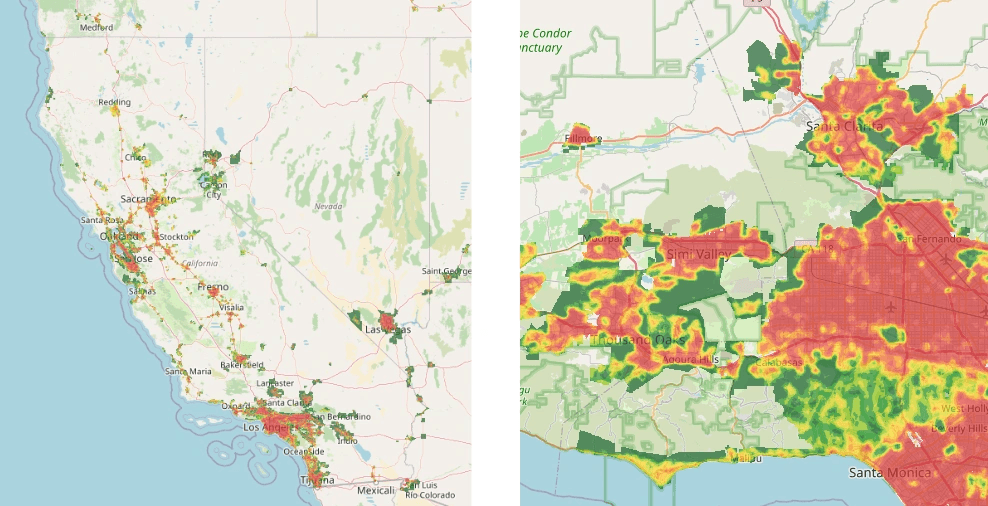
Our CTO wrote up a process for creating very large GeoTIFFs and WMS map tiles from, large, sparse data (CSV). NatureQuant often works with large GIS data, such as covering the entire US, or for example, with our NatureScore and NatureDose products, we cover all of North America, and quite soon Europe as well. We produce various bespoke data sets for our clients, and in this case we needed to create a WMS (Web Map Service) from data covering the United States (including Hawaii and Alaska). Our data started as a 6GB CSV file containing hundreds of millions of rows. The article describes how we transformed this into a GeoTIFF and then WMS.

Creating very large GeoTIFFs and WMS from sparse data (CSV)

About NatureQuant, LLC.

NatureQuant is a technology and research company that provides a suite of tools to monitor, quantify, and evaluate natural elements and exposure to nature. NatureQuant seeks to improve public health through the development of strategies and interventions for the use of such greenspaces through innovative technology. NatureQuant’s tools should encourage practitioners, policymakers, businesses, and individuals to consider how they can create, maintain, utilize, promote, and improve access to nature.

Contact Us

Stay Informed

Product updates and company news delivered right to your inbox.

Send Email

We want to hear from you. Send any press, scientific, or general inquiries our way.

info@naturequant.com